See also: Idaho Energy Resources – Wind, American Wind Energy Association
The State of Idaho became involved in the WPA program in 2001 when the Idaho Department of Water Resources – Energy Division, INL, and others began forming the Idaho State Wind Working Group. Idaho's involvement with WPA progressed quickly and anemometers from the loan program were installed in 2001 on the Duck Valley and Fort Hall Native American Lands. These installations on teh Native American Lands required involvement of the Shoshone-Paiute Tribes and Shoshone-Bannock Tribes in the WPA program.
In 2002, many other anemometers from the loan program were installed in Idaho on both state and private lands. These anemometers provide the data that are available through this web site. INL is responsible for processing this wind data and making it available to the public. This information can be used for correlation with existing wind maps, validation of those maps, and will be used to promote wind energy development in Idaho and the surrounding states. Public interest in wind power in Idaho is growing through the involvement in these programs.
This  idaho_wind_speed_summary.pdf (93 KB PDF) will give you a comparison of wind speed averages for all the Idaho locations in the program.
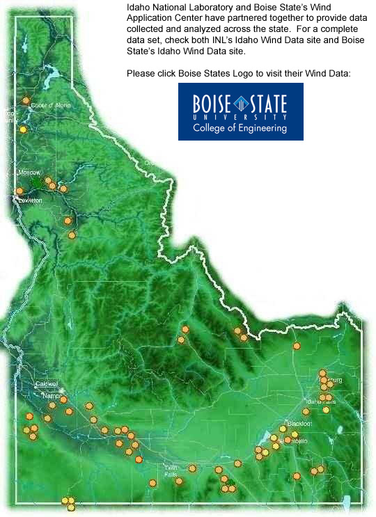
Wind data are available for each site where an anemometer loan program tower is installed. To view the information and data for an Idaho site, click on that site in the map below.

Disclaimer
This wind data are being shared by the INL as public information collected through the Department of Energy's WPA program. No claims are made as to the complete accuracy of this information, and any misuse of this information is not the responsibility of the INL or the Department of Energy.
INL provides free wind data assistance as part of this federal government-funded program. All participants in the INL WPA program agreed to allow the collected wind data to be publicly posted and shared.


